April 7
Area:
Alta guard station to Cardiff to Gobblers out Porter Fork
Elevations, slope angles and aspects:
6200’-10500’, angles to 40°, all aspects
Avalanche activity:
Recent glide avalanche in Broads Fork,
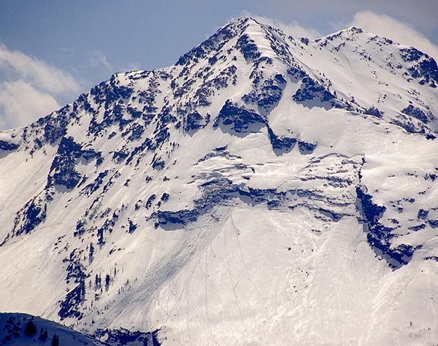
blue ice area.
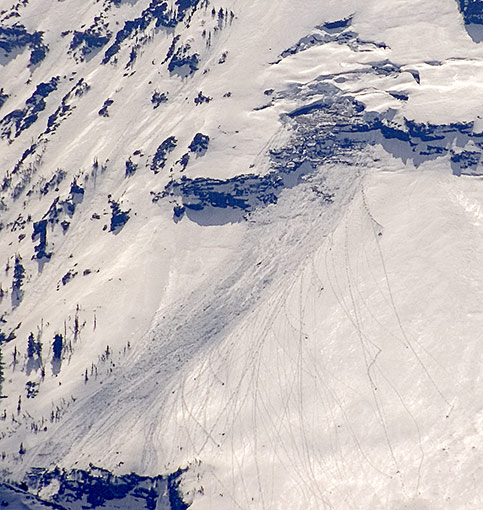
Diving board close up.
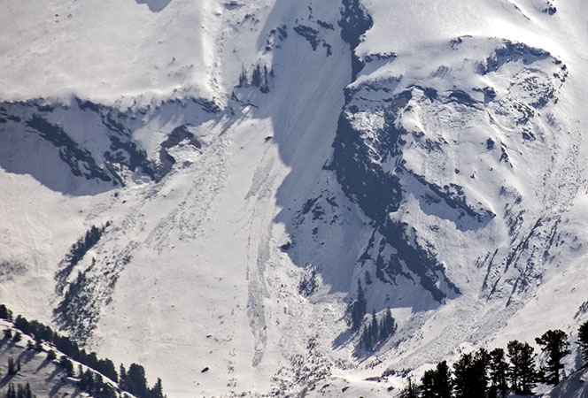
Recent point release slide east facing saddle Dromedary shoulder,
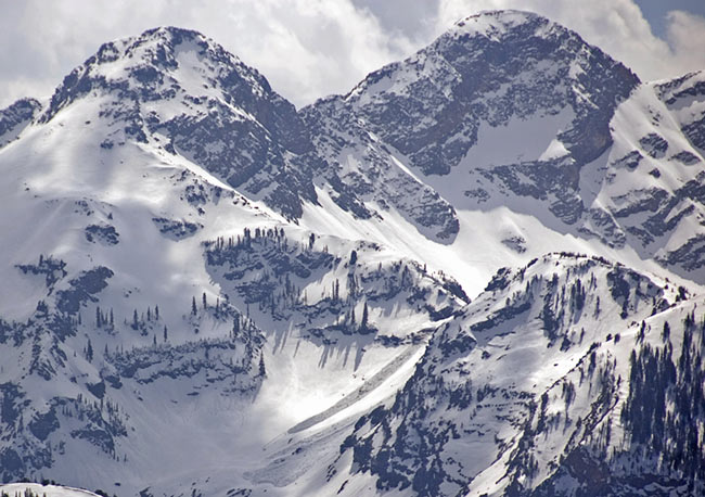
could have ran today. There was also a point release,
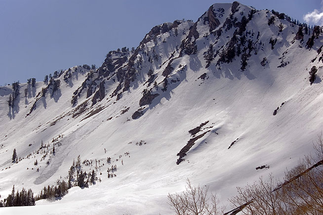
which fanned out a bit on Raymond.
Other activity noted was limited to rollers on suns exposed primarily south east facing.
Slopes skied:
Little Superior buttress northeast facing, High Ivory northeast facing and the Dead snag on the high shoulder of Gobblers Knob exiting out Porter.
Snow surface and conditions:
Another good refreeze, with south facing firm in the early morning. Somewhat warmer and the frozen snow did not last a s long as yesterday with east and southeast facing off well before noon. Northeast facing was still supportable but sloppy by 11:30. Northwest facing was good corn snow skiing around 4 pm on the upper elevations. Snow continues the melt off. The Cardiff exit was patchy and isothermal, beginning at around 8000’. Snow in the Butler area was gone to just above the bridge crossing and only staying in the shade and following the avalanche run outs in the gullies allowed skiing to Gobblers shoulder in Mill A. Wet activity was noted in both Broads and Mill B south, appearing recent, yesterday or today.
Weather:
Bluebird, with a few high clouds in the afternoon. A few degrees warmer than yesterday, but still not the oppressive spring time heat. It was great weather for wandering into the late afternoon. Winds were only occasional and light.
Evaluation:
A slight warming of temperature, combined with clear and sunny skies produced a couple of wet slides. Somewhat isolated, only a pocket or two of glide and one point release observed. My reading of the current forecast indicates increasing moisture and humidity along with somewhat cooler temperatures. I would expect continued stability, although a high humidity and marginal refreeze may increase the wet slide potential for a day before cooling off, prior to the next forecast storm.
© wowasatch.com